Seminars
Nephological Conjuring: Do Better Clouds Lead to Better Cloud Scores?
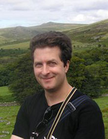
Dr. Cyril Morcrette, Met Office, United Kingdom
March 19, 2012 | Jet Propulsion Laboratory, 2.00-3.00 pm, 233-305E
About this Lecture

When numerical models are used for weather forecasting or climate change studies, the aim is to represent clouds in the best possible way. After reviewing two of the methods for representing clouds in the most recent versions of the U.K. Met Office's global model, the performance of two sets of cloud forecasts will be evaluated against observations from ground-based remote-sensing sites. The different ways in which a cloud forecast can be wrong will be explained, along with examples of relatively good cloud forecasts that arise as a result of the cancellation of errors. Consequently, it will be shown that one must be careful to quantify each aspect of the cloud error when comparing clouds in different weather or climate simulations.
About Dr. Cyril Morcrette

Dr. Cyril Morcrette is a senior scientist at the U.K. Met Office who works on the way that clouds are represented in weather forecasts and climate simulations. Prior to joining the Met Office in 2006, he obtained a degree in physics from the University of Warwick and a Ph.D. in meteorology from the University of Reading. As a post-doc at the University of Reading, he carried out research on the initiation of convective storms in the British Isles.
